Projects
The Projects page is used to create, delete and download projects. Projects that contain GPS data can be plotted and inspected on a map.
A description of the map controls and buttons can be found on the map page.
The currently active project is shown in a yellow highlight. 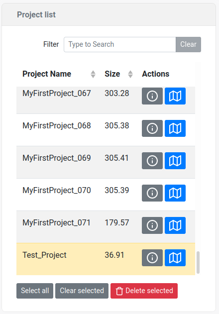
Note
The maximum project size is 300 MB, if this limit is exceeded, the project name will be appended by a number in the format _xxx
| Entry | Description | |
|---|---|---|
|
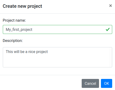
| Open the project creation tab |
| Project name | The name of the project. Note that the names have to be at least 3 characters long, contain only a-z, A-Z, 0-9 and the _ character. If the project name already exists the creation will generate an error. | |
| Description | A text description of the project (optional, can be blank) |

| Entry | Description | |
|---|---|---|
|
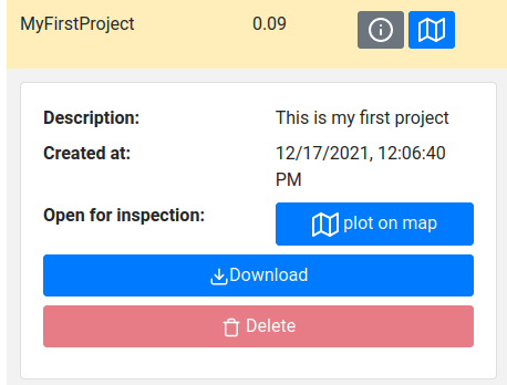
| This button will open up the project inspection tab |
| This button will plot the project on the map | |
| Description | The description of the project given when creating a project | |
| Download the project. When downloading a project, the data files associated with the project are zipped and then transferred to the user. Inside the ZIP file are .JSON files that can be loaded and reanalyzed by Gamman. There are separate monster.json and sample.json files that contain the recorded monsters and samples respectively. | |
| Delete the project. Note that the currently selected project cannot be deleted. | |
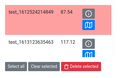
| The buttons located at the bottom of the project table and can be used to delete multiple projects at once. Selected projects are highlighted in red. |