
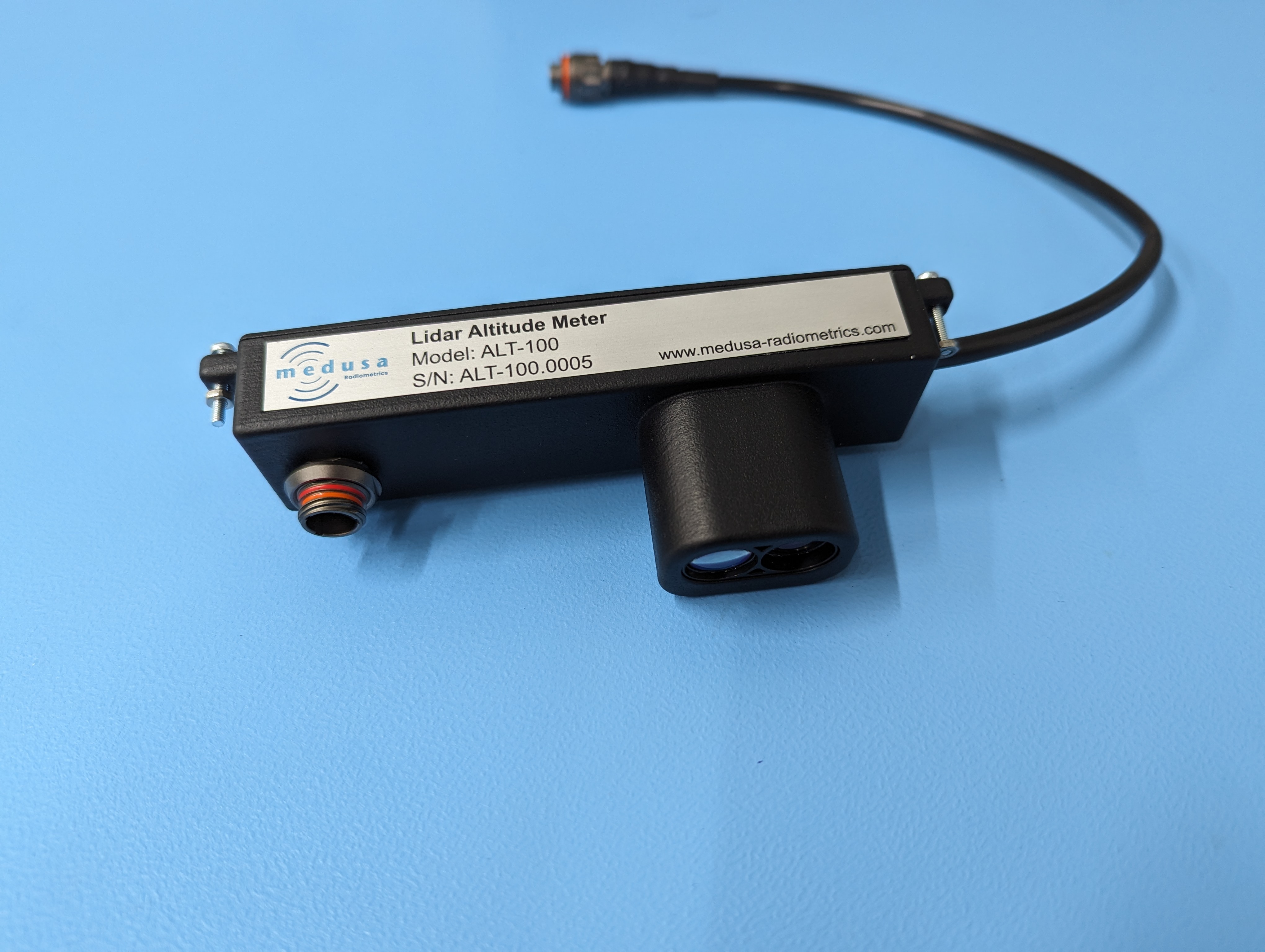
ALT-100 Lidar altitude meter
An optional accessory for the spectrometers used in UAV- and airborne applications. The distance between the ground and the detector will influence the gamma-ray measurements in two ways. Firstly, the measurement height determines the footprint size, defined as the area from which gamma-rays are emitted that end up in the detector. Secondly, a larger height will cause the gamma rays to be attenuated more; thus, a smaller signal will be measured with the spectrometer. Both the footprint and the attenuation effect are well studied and described. For drone-borne surveys, this is described in the paper Footprint and height corrections for UAV-borne gamma-ray spectrometry studies.
Gamman has a correction algorithm corrects for this reduction in gamma-ray intensity and calculates the radionuclide concentration in the ground, as described in the above reference. However, accurate height readings are necessary to accurately calculate the absolute radionuclide concentrations in the ground. In a flat area, the flying height of the UAV can be used, but in areas with variations in the topography, these heights are usually not accurate enough. For those situations, we have developed the 1D Lidar altitude meter. This is an add-on to the product line of Medusa sensors that adds the functionality of accurate height measurements that are recorded along with the spectral data.
Specifications
Parameter | Description |
|---|---|
Technology | LiDAR (Light Detection and Ranging) |
Wavelength | 905 nm |
Lidar type | Static single beam |
Range | 0.2 ... 100 m |
Update rate | 2 hz |
Compatibility | Plug & play with all medusa sensors |
Input voltage | 5 - 35 V |
Power consumption | 1 W |
Connection | Lemo FGT.1M.308.XLMT |