

Appearance
Drone-borne MS-1000 survey of peaty soils
Below we share some data obtained in 2021 using a drone-borne MS-1000 mapping a peaty area somewhere in the E.U. The zip file contains the raw detector output as well as the Gamman project file that was created with it. No further processing was done on the data.
| Survey purpose | Soil/peat mapping |
|---|---|
| Gamma-ray system | MS-1000 |
| Survey platform | Drone |
| Data provider | Århus University: https://agro.au.dk/en/ |
| Dataset | - 6 mDOS files containing survey data - a Gamman GSF project file containing the synchronized data - a CSV file containing the sync’d data - a parser file that can be used to import the data into Gamman |
| Notes | 1. The positions of the datapoints have been changed for privacy reasons 2. The elevation used in the survey is unknown. The “height” column is GPS height which is not a good representation of the actual height above ground of the drone during survey. |
| Download | MS1000 peatsurvey.zip |
Screenshots:
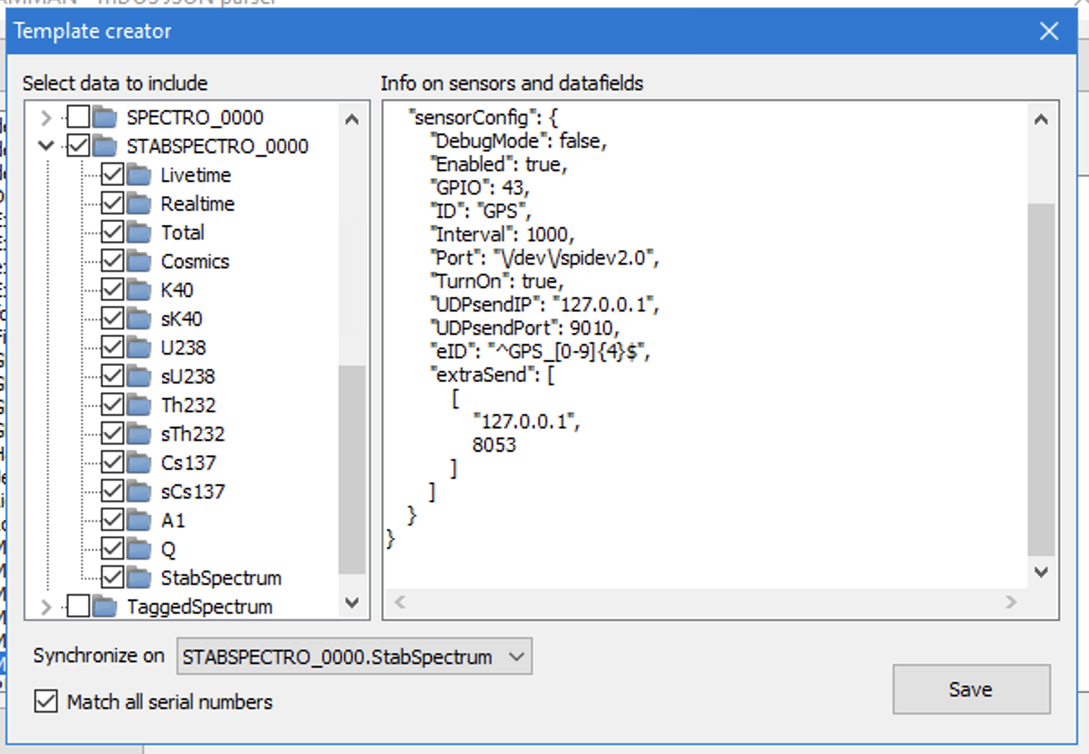 Image of the mDOS template used to import the data
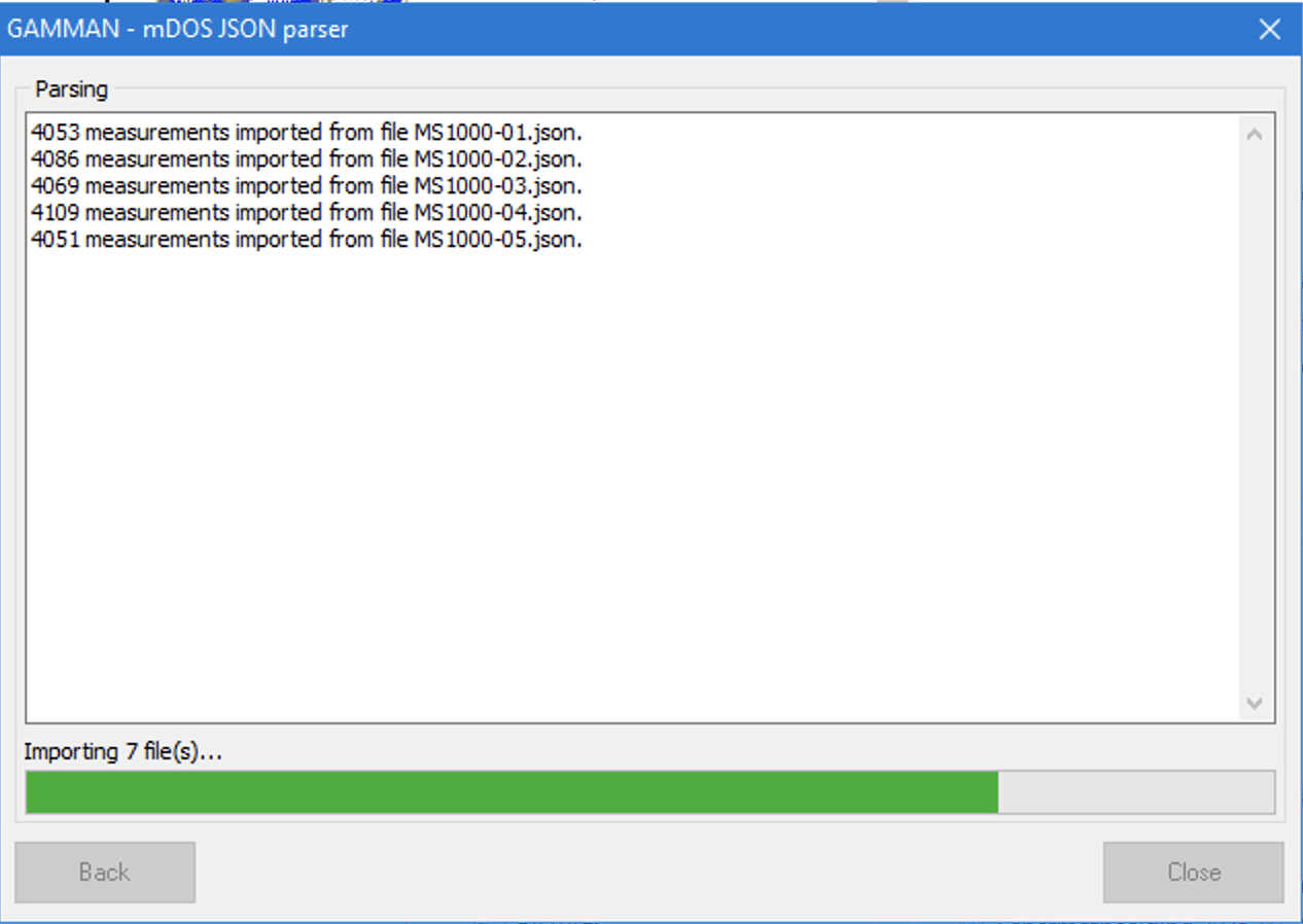 Reading an synchronizing the data
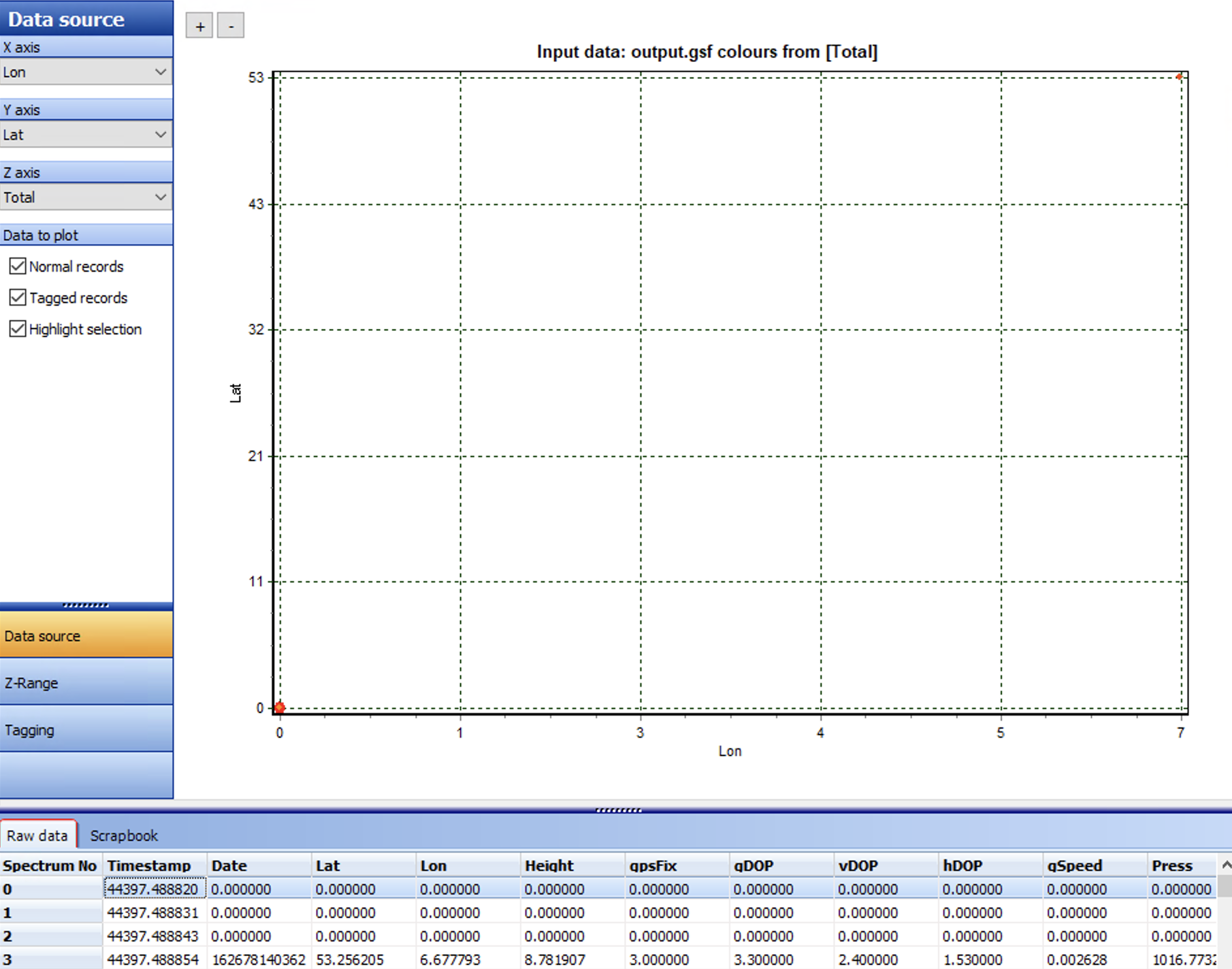 At first sight - an empty dataset? The reason is the dataset contains a few zero positions (see table). Remove those lines to get the picture below
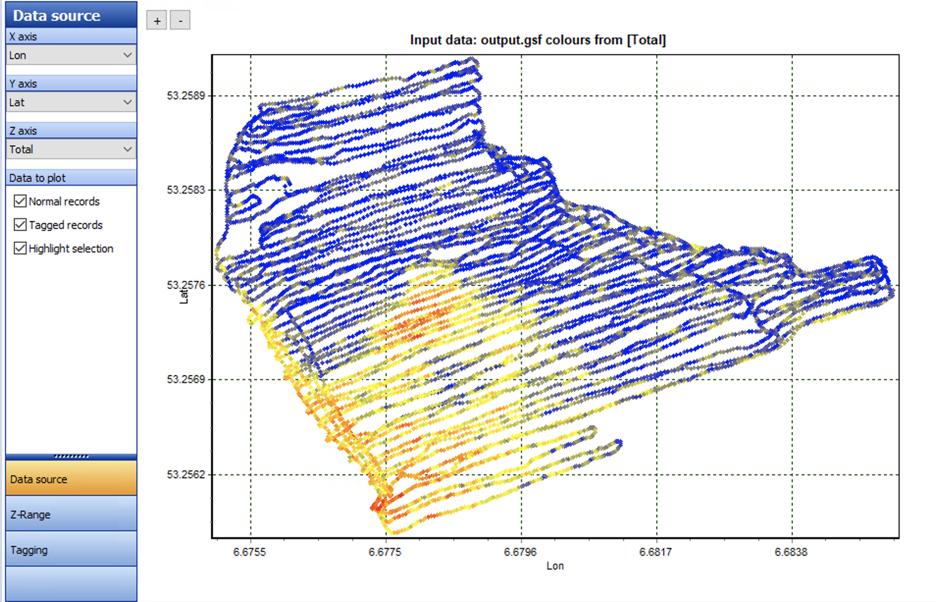 Total count image of the area